Highways
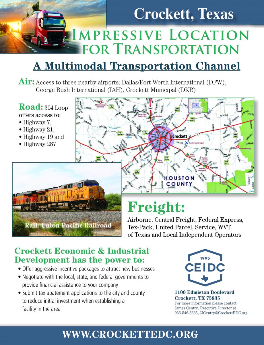
Around here we refer to Crockett as the crossroads of East Texas. Several highways converge on the city. U.S. Route 287 leads north 35 miles to Palestine and southeast 46 miles to Corrigan. Texas State Highway 21 leads northeast 33 miles to Alto and southwest 38 miles to Madisonville at Interstate 45. State Highway 7 leads east 54 miles to Nacogdoches and west 33 miles to Centerville along I-45. State Highway 19 leads south from Crockett 48 miles to Huntsville.
Rail & Air
Crockett is served by a Union Pacific freight rail that runs North to South directly through town. In 1909 the IG&N Railroad Company built a passenger and freight depot here which has been restored and is now the Houston County Visitor's Center and Museum.
Just outside of Loop 304 on State Highway 7 you will find the Houston County Airport. The airport covers an area of 55 acres which contains one asphalt paved runway measuring 4,000 x 75 ft.
Distance to Major Cities
| Distance to Major Cities | |
|---|---|
| Dallas, TX | 150 miles |
| Houston, TX | 120 miles |
| Austin, TX | 175 miles |
| San Antonio, TX | 250 miles |
| New Orleans, LA | 390 miles |
| Oklahoma City, OK | 360 miles |